
I sailed Pomaika’i from Fort Myers to Jacksonville, FL where I live on her. While this trip was filled with challenges, it was one of my most adventurous outings. There were a lot of firsts for me on this voyage.
First time sailing overnight, and on top of that solo sailing at night
First time offshore on my boat, and solo.
First time on the west coast of Florida and into the Keys
Total Trip: 667 miles
Top Speed: 9.85 knots
Average Speed: 5.5 knots
Due to scheduling things with work, buying an airline ticket and having to move the boat out of the shipyard (at the very least) I had to make plans based on a weather forecast that would be a week old when I started the trip. With Irma just past, Jose sitting out in the Atlantic and start-up of Maria the weather forecast was unstable. My primary concern was getting weather that wasn’t dangerous, and it would turn out I got that in spades, so safe I couldn’t move.
So join me on this little jaunt through southern Florida and out onto the open seas.
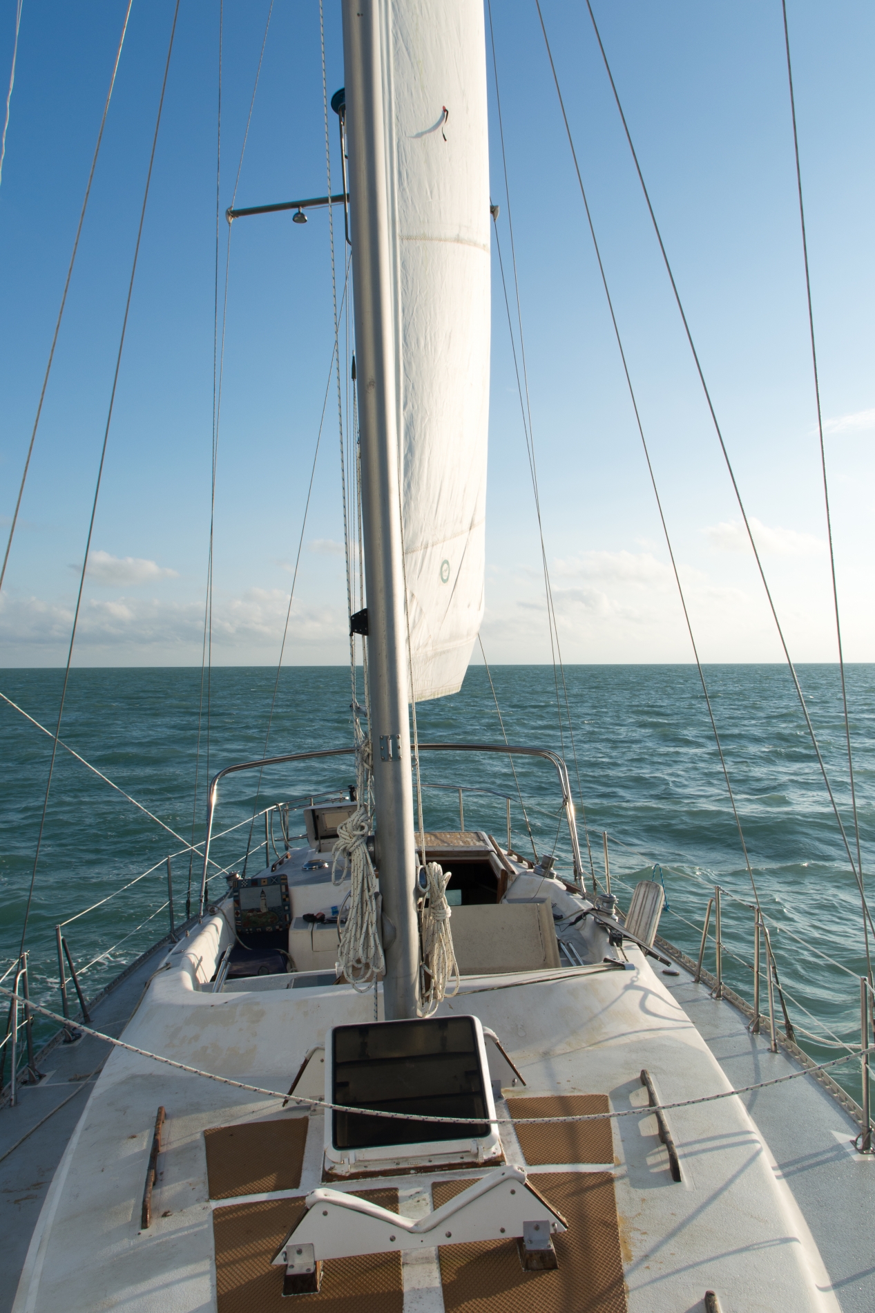
Sailing Fort Myers to Marathon
The first leg of the journey was to get out of Fort Myers and head south across the Gulf of Mexico to Seven Mile Bridge near Marathon, FL. On previous trips to Fort Myers, I had talked with a retired Coast Guard captain who explained how the waves and weather worked in the Gulf of Mexico. With such a large area and a mix of weather patterns, the waves can be very mixed and confused. I chose a departure date that would give me the calmest Gulf of Mexico I could find. While I got the smooth waves, I also got no wind. So I motor-sailed down the coastline, staying just in sight of land. Happy to be on the water finally I just enjoyed the afternoon passage.
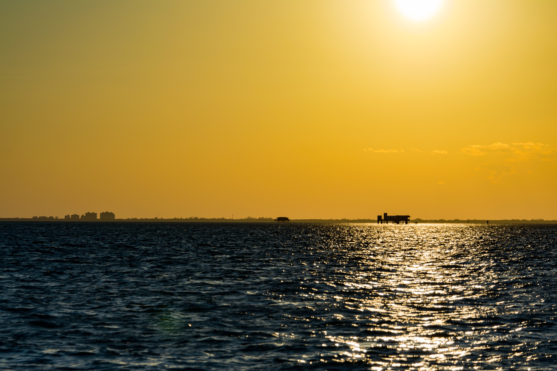
The west coast of Florida is a long line of beach side condos. As it got dark and I got near Marcos Island it was interesting to see that the lights just stopped. On the north side was a long line of lights until they become lost to the horizon, on the south shore pure darkness.
Around 9 pm that night as we passed Marcos Island the wind picked up. Off with the damn motor and silently gliding through the water under sail was pure pleasure, a state of perfection. I spent the night, until about 4 am when the when died, taking small naps and staring in amazement at the stars and the milky way. Without out all the light pollution of living in a city, the stars are awesome. Off to the starboard, a small lightning storm raced us to the keys.
As the sun rose, two things came to mind. The first, “Damn, the autopilot doesn’t work anymore.” The second was “There’s nothing around me, a desert of water.” While the experience will put into check any feelings of being able to control everything and that the world rotates around you, I felt at peace with being this far offshore. I’ve always been connected to the ocean and being on your own ship, under your own power with your path controlled by the simple turn of the wheel was empowering.
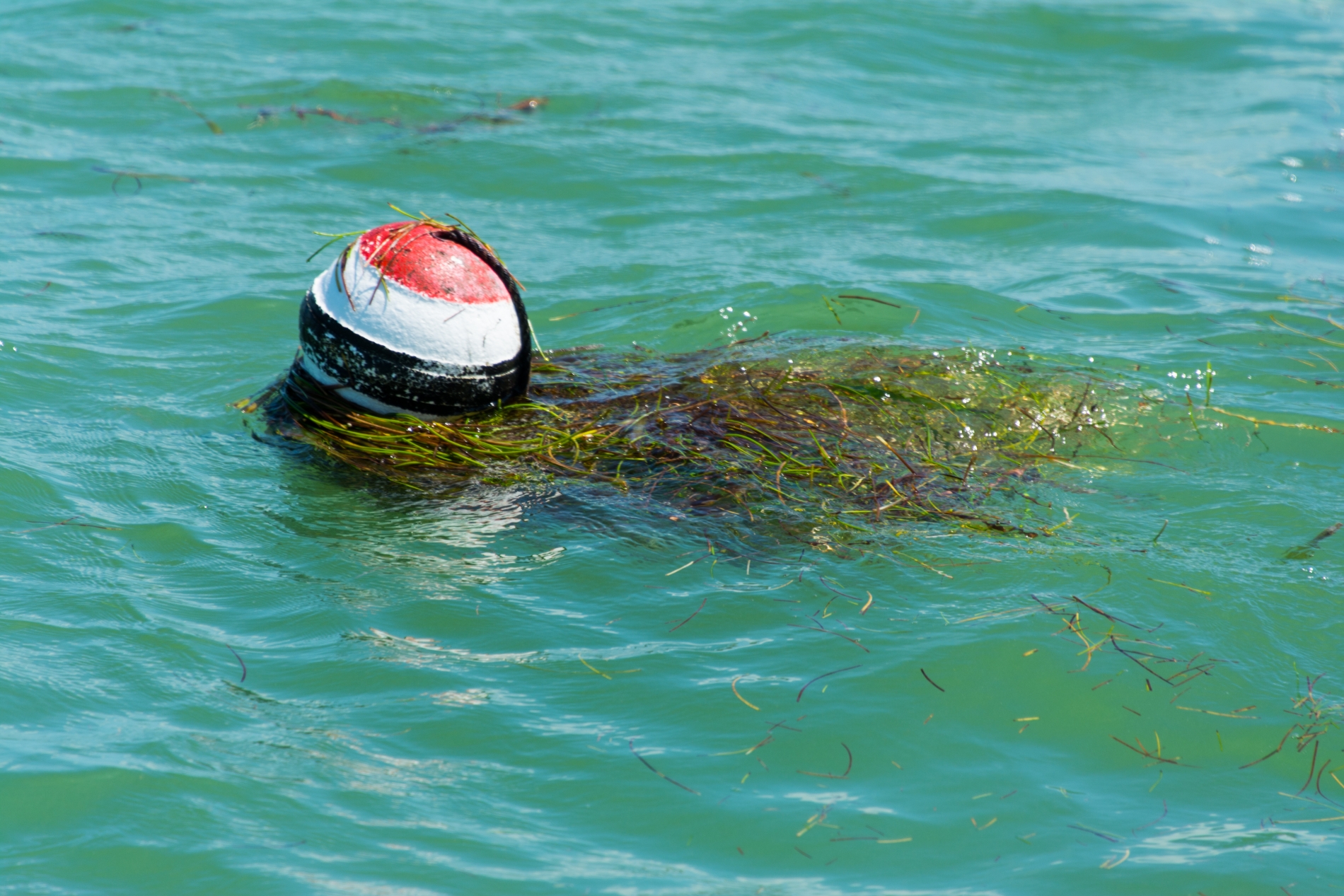
Saturday morning was spent motor-sailing across the Gulf of Mexico. In the afternoon I started to reach the Keys. The Gulf side of the Keys has a lot of crab pot trap buoys, so I spent the afternoon running an obstacle course dodging these multi-colored floating balls. The danger is not that you will run into the actual trap (their many feet below the surface of the ocean) but that you’ll catch the line that runs from the trap to the buoy with your propeller wrapping the line around the shaft and stopping the propeller. This raises two points of danger. First, stopping the propeller removes your ability to move without wind, which controls steerage (capacity to turn the boat). The second, to remove the line you need to dive under the ship and cut the line off the shaft. Having done this before, it is not easy nor something you want to do while floating offshore.
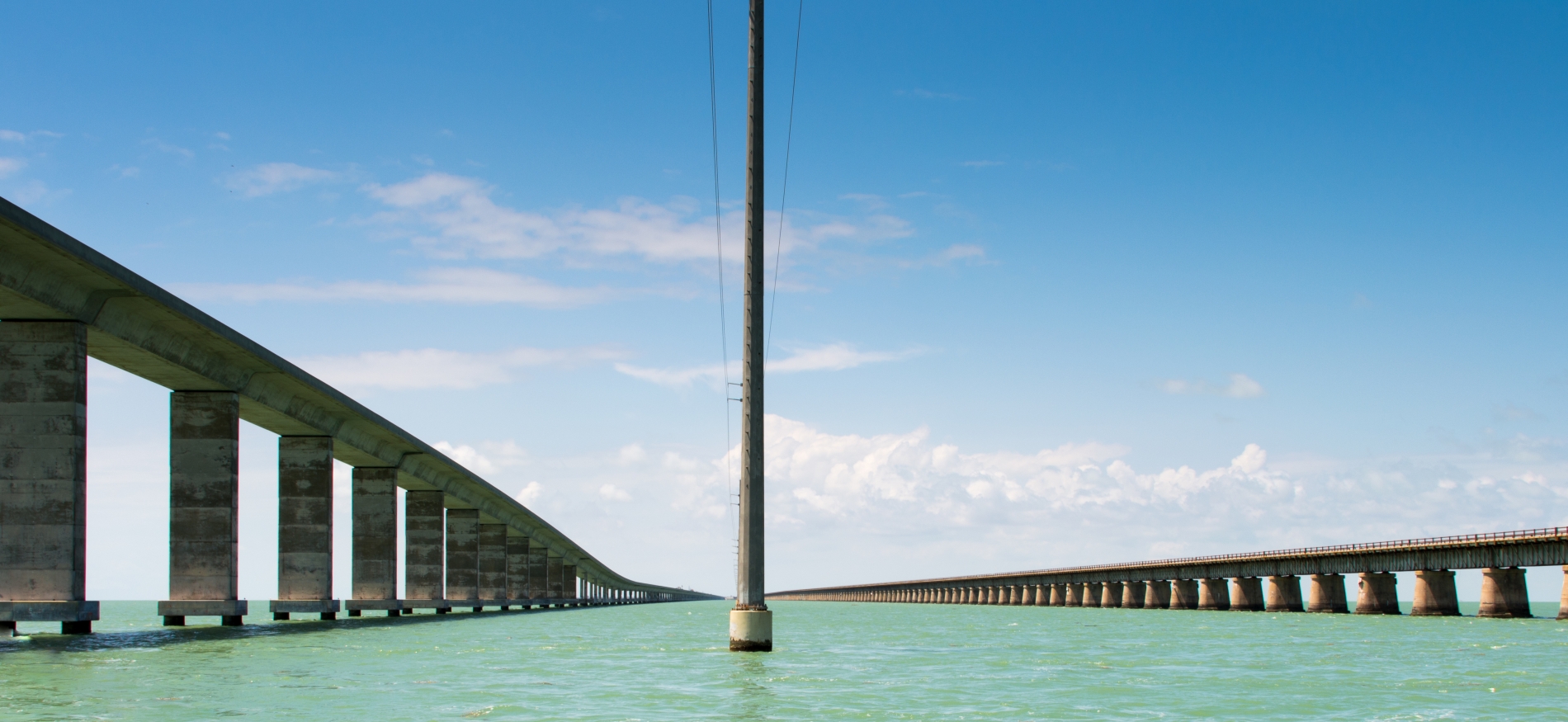
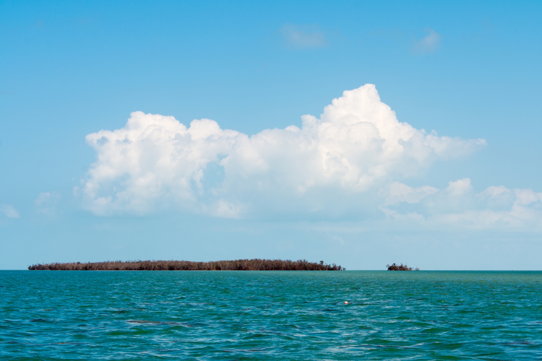
After passing the crab traps, I started to reach the Keys. On the Gulf of Mexico side, there are a number of small islands. The plan was to stay to the west of these islands or keys and in deeper water. While dodging the crab traps, I had veered in a more southerly direction so started to run among these small keys. My first inclination that things were not as they should be was when I looked over the stern and seeing a “dust” cloud in my wake. This meant the propeller was stirring up the sand on the bottom and I was probably only 6 inches to a foot above the sea floor. After studying the charts and the seascape, I started to realize some of the damage caused by Hurricane Irma. The water level was elevated, so the layout of the keys didn’t match the charts, some keys were even completely under water. The Keys have a significant number of channels that allow you to go between the islands and across shallow areas. Typically these are clearly marked by poles and signs. Except for two posts under the Seven Mile Bridge I was not to see a marker until I got to Biscayne Bay. Up until this point, I had only been referencing my tablet chart plotter periodically to conserve power as this adventure had turned into a power management exercise.
Power Management Exercise
The electrical and electronics systems on the Pomaika’i are antiquated and severe need of an upgrade and in many areas needed to be removed and replaced completely. The steering column on the Morgan Out Island contains many switches and electronic devices. The previous owner had removed the access panel to all of the wirings which left this area exposed to the weather. Hurricane Irma didn’t leave Pomaika’i completely unharmed. The wiring on the steering column was exposed to the rain and wind; there was even standing water at the bottom of the column when I got on the boat, so many items weren’t working including the autopilot and depth finder. Also, I found out that the alternator on the engine could not keep up with the power needs of the autopilot and refrigeration, both of which I shut off on Saturday morning. Luckily I had planned that this might happen so my provisions were all foods that would survive a week without refrigeration (salami and peanut butter). I nursed heavily drained batteries the complete trip.
Also, there were no USB plugins inside the boat. Most modern-day handheld electronics require a USB connection to charge. I was running three primary devices. I had a tablet running my chartplotter program (maps) with my entered waypoints and my primary navigation device. My Inreach satellite device which also has mapping functions, allows me to send messages offshore and sends tracking that friends and family could view online. My smartphone which allowed me communication when near shore, has a better screen to interface with the Inreach and allows me to do photos and videos. I had a small solar cell that I used for hiking as my only charging device since I couldn’t interface with the onboard electrical system. It was barely up to the task of keeping all three devices in power. I had to prioritize which device needed power for the day and night.
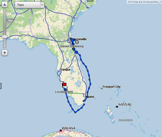
Sailing Marathon to Jacksonville
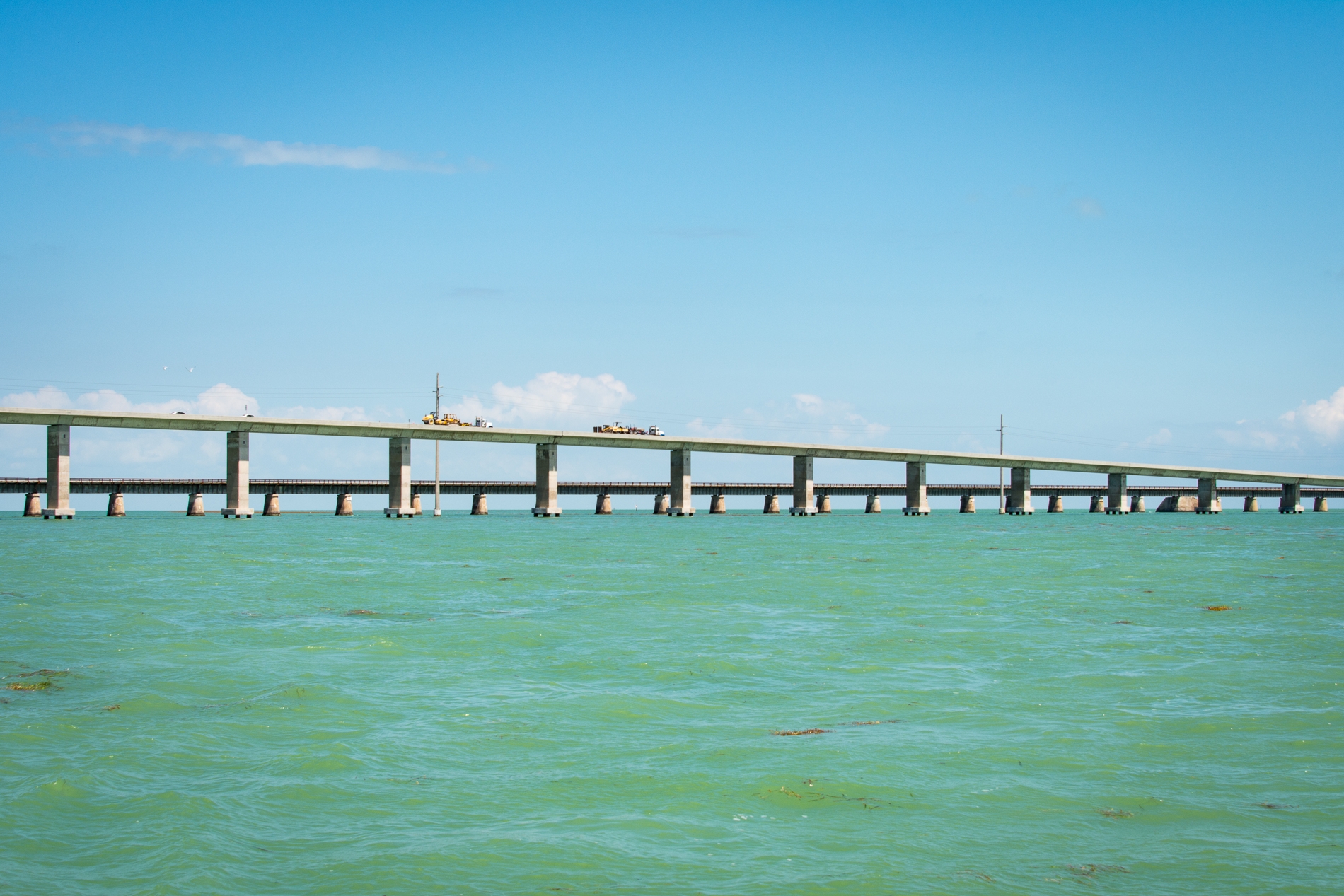
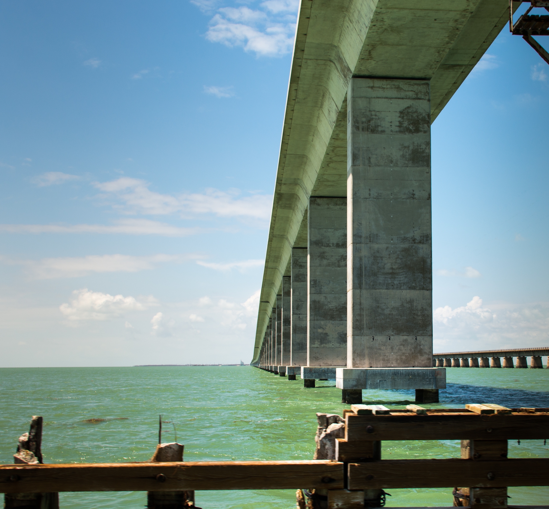
After threading the needle through the little Keys, I reached Seven Mile Bridge. This is one of the few spots that a sailboat of my size can cross the bridges due to mast height. I was on a high as I finished up the first leg of the trip and moved to the other side of the Keys that Saturday afternoon.
And here is where I made my first mistake. My original plan was to head south out into the Straits of Florida and get into the Gulf Stream. There was little wind, and I changed my plans to motor more and stay close to the coast. I was concerned about what the northerly winds would do to the Gulf Stream conditions.
The Gulf Stream
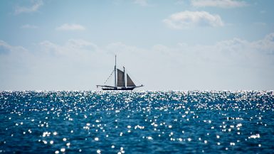
The Gold Highway. The Gulf Stream is a channel of water the runs from outside of Cuba, up the east coast of the United States and eventually dumps you into the North Atlantic to head to Europe. The Gulf Stream will give you two to four knots of movement on top of any engine or sail power. Back in the day, the Spanish galleons would use this to move their gold from Havana to Europe (except the ones captured by pirates or shipwrecked in Florida).
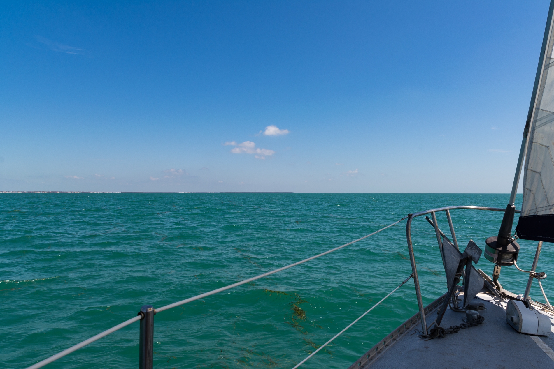
I started motoring up the Keys towards Miami. The water was gorgeous, and it was just a perfect day on the water. Dolphins came by to swim for a while, and I even had a bird hitch hiker show up to sit on the mizzen boom for a bit.
Saturday evening while near Long Key I got distracted while viewing the chart plotter trying to figure out the best path (since I’d deviated from my pre-planned route). The boat had drifted off the path and got close to the Key. Startled I realized and turned out to sea. About 30 minutes later I slowed to two and a half knots. Thinking I was running against some freak local current, I turned more towards the open ocean. Five minutes later I was aground. The area was soft sand, and Pomaika’i is a solidly built boat (the hull is 1″ of solid fiberglass), so I wasn’t worried about damage. As I was on a falling tide, I just decided to wait until the rising tide in the morning and float off. I figured I could use the rest as I’d been going since Friday at 4 am (a little over 36 hours) with only a few catnaps to carry me through. I was asleep before my head hit the pillow on the settee. As the tide hit the lowest point I was rudely woken up by the boat leaning far to the starboard side throwing me to the floor. The aft cabin runs the width of the beam of the boat, so I moved there to finish my rest stop.
Sunday morning at high tide I made my way into deeper water. Continuing my journey up the coastline, I made my way to the outside edge of Biscayne Bay. Later in the afternoon, the engine problems started. There was a noise from the engine compartment. I immediately shut things down and went to investigate. I found that there was an oil leak. I topped off the oil but then found that the batteries were not holding a charge so was engineless and with no wind. I made the decision then that I would get a tow into a marina, do my repairs and maybe stay over night to regroup and wait for better weather.
BoatTowUS was having a busy day, and with the recent issues from Hurricane Irma, my options were limited. Due to limited fuel for the towboats and limited facilities as some marinas were still closed I was placed on a dock at a restaurant. The next morning I made a Lyft run to the auto parts store and bought enough oil to handle any leaks and would make proper repairs in Jacksonville.
Since I was near a fuel dock, I decided to fill up on diesel as the fuel gauge doesn’t work and I was estimating my remaining capacity. For someone like me who has a hard time parallel parking getting to the fuel dock was an interesting adventure. I had to slide in the past a new boat, then back down into a space the size of my boat. Sailboats, because they have one propeller, will slide sideways in reverse. In my case, it was away from the dock. After two tries I was in.
Leaving Black Point Marina area requires a run down a long channel to Biscayne Bay. Half way down the runway the engine started to overheat (read about my replacing the heat exchanger). I shut down feeling very frustrated but decided I would sail from this point to Jacksonville. I couldn’t afford to keep the boat in Miami (the slip fees are outrageous), and I was done being reliant upon an engine. It was time to learn how to sail in light winds.
It took all of Monday to sail across Biscayne Bay. At one point it was so calm, I climbed down the swim ladder and dragged behind the boat cooling off in the water. Again, I had trouble connecting what my eyes saw with the charts. The water depth was much greater than the charts stated and land masses on the charts weren’t visible in real life. At one point I said, “This chart can’t be right, I’d be on the ground if it were accurate.” I promptly stopped moving, stuck in the sand.
As I was stuck for a few hours, I decided to do some chores. I put the boat name on the back of the boat (I could stand in the sand and do this) and then started to scrub down the hull of the boat. As I got to the bow of the boat, I realized that I was barely grounded and the bow was free. I pushed the bow 90 degrees to the west, walking it across the sandbar. Now at least when the tide goes up I’ll be pointed in a better direction to give me some space from the shallows.
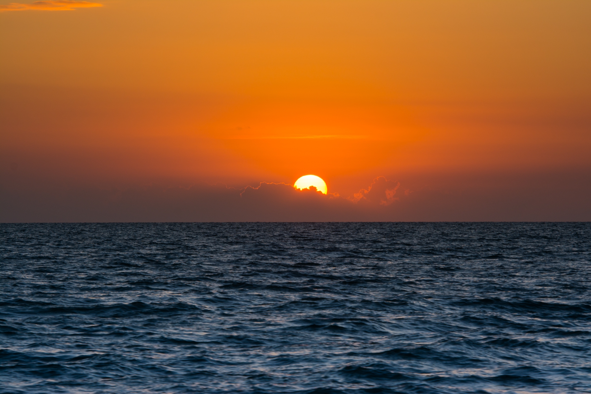
At sunset, I worked my way out of the Bay of Biscayne and into the Atlantic. The sunset with the houses on the water was neat.
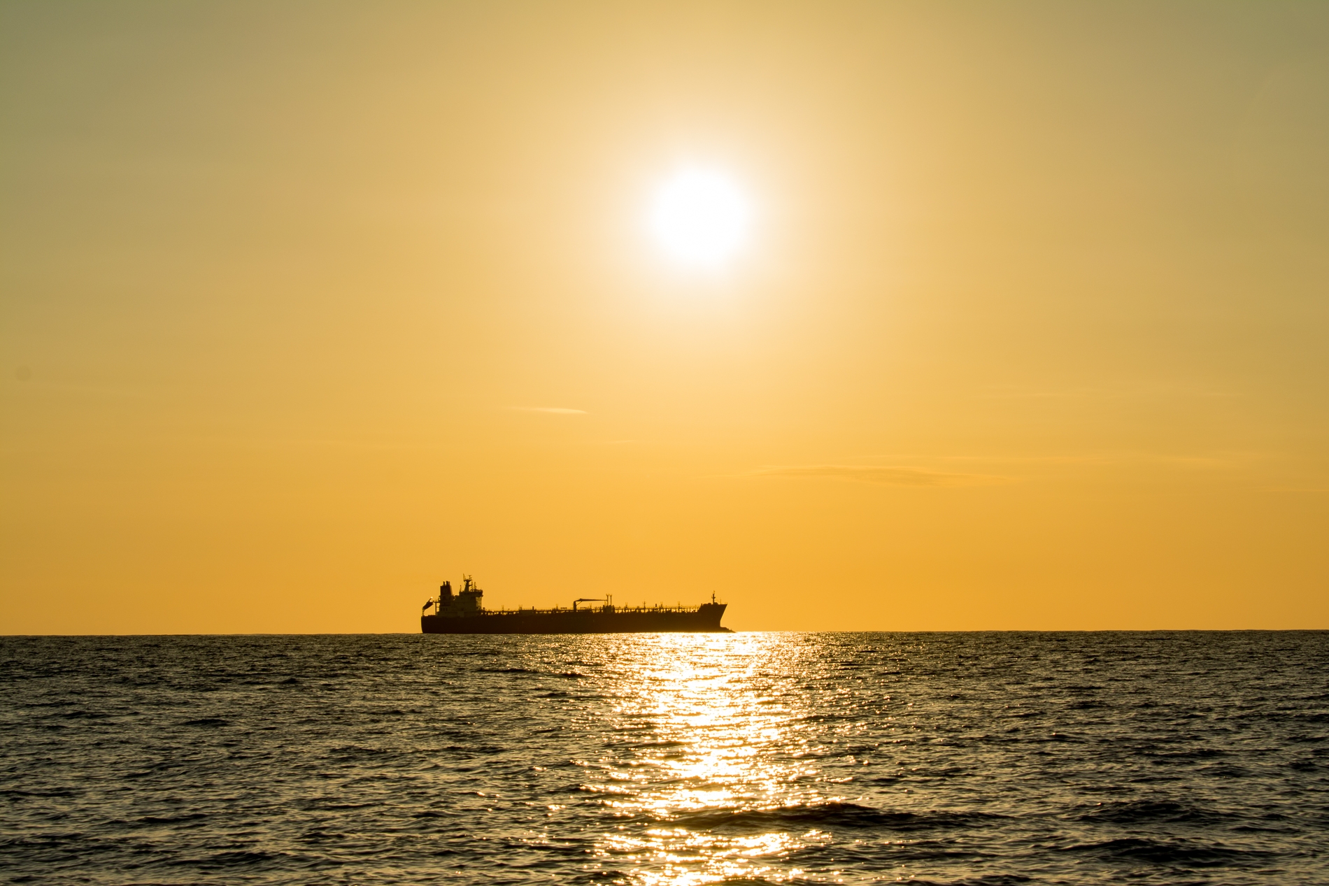
Monday night I worked my way through the shipping channels outside of Miami and headed north. Dodging barges in the middle of the night is not for the weak of heart. You study the light patterns in class to pass a test but seeing them bearing down in real life makes you remember them for good.
Tuesday was a great day, now that we were out in the open ocean. With northerly winds, I had to tack on a north easterly and north westerly path back and forth across the Gulf Stream, where I should have been originally. I took long takes of 3 – 5 hours each, one of which got me halfway to the Bahamas. It crossed my mind that I had money in my wallet, space on my credit card and it would be an easier sail to Freeport.
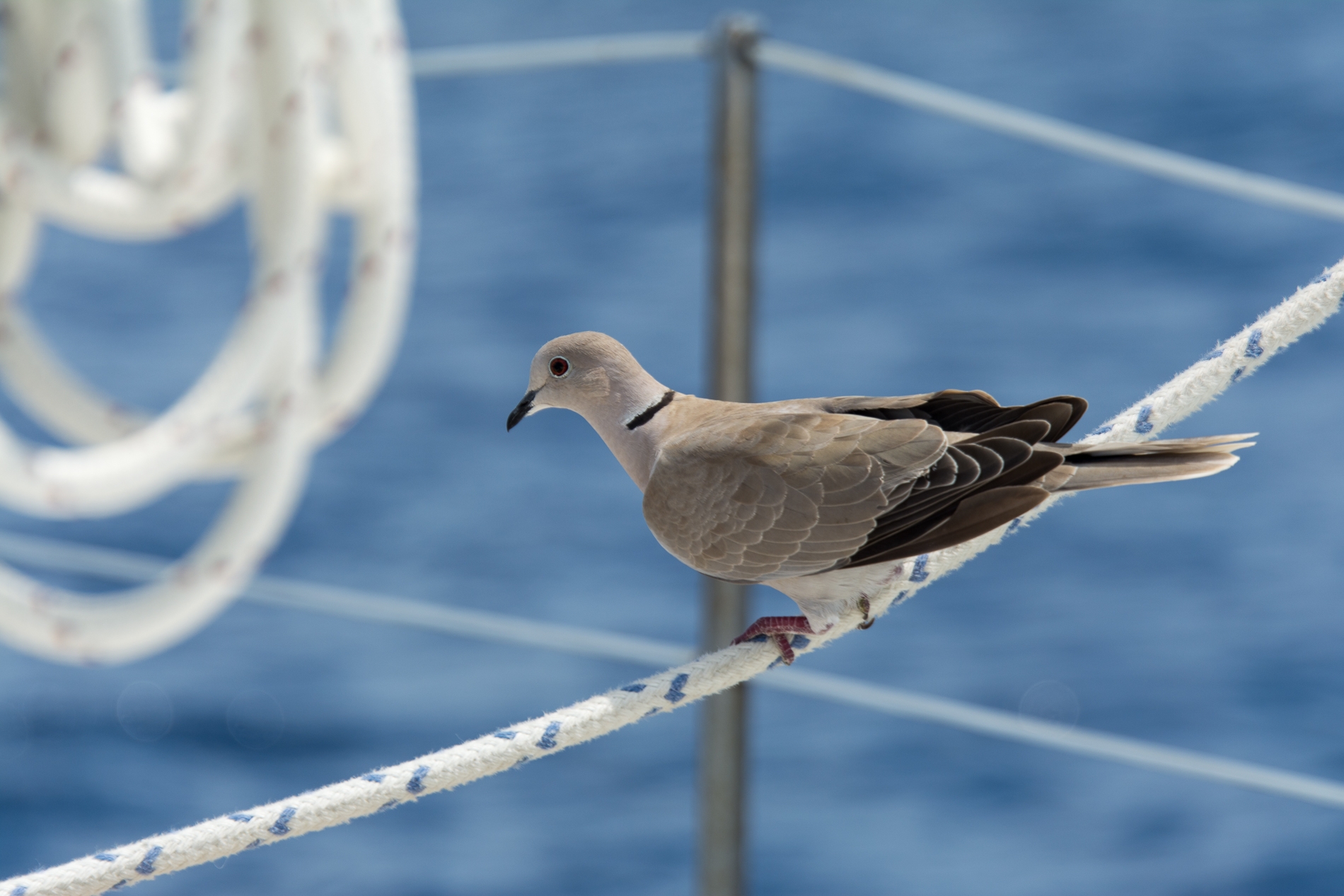
Doug The Dove
Around 1:30 pm on Tuesday a hitch hiker showed up. I was about 15 miles out heading east into the Gulf Stream. A dove landed on the aft hatchway and just took a seat. Doug (we became quiet good friends by the end of his stay and were on first name basis) stayed around until around 8:30 that night. Every time I had to make a sail change he’d get upset and fly in circles around the boat. Once I was done and moving in the new direction he’d settle down to the deck and continue his ride. At one point he was on the chain near the anchor on the bow enjoying the best seat in the house.
Wednesday I continue working my way north toward Cape Canaveral. I was learning how to get the most of out Pomaika’i in the light winds. At one point on Wednesday afternoon, I was on the perfect tack to Jacksonville, flying along at 6 knots with an estimated arrival in 20 hours (early afternoon on Thursday). The reality was different.
Thursday tested my patience. There was no steady weather pattern, with light, fluky winds barely moving me north along the coast. Twice I had to dodge fishing fleets while barely moving enough to have steerage. I crossed the St Augustine inlet after dark on Thursday and was at the end of my energy. Pomaika’i had different plans though. I awoke from a short nap to find her doing 7 knots flying north. She was ready to go home.
We spent the night working our way up the coast, dodging more large fishing vessels. Around 2 am we arrived at the mouth of the St Johns River… and sat in the inlet. There wasn’t enough wind to compensate for the current coming out of the river, and we sat dead in the water. I called BoatTowUS to bring us into Beach Marina. Between then and 5 am when we finally hooked up with the towboat the surf dramatically increased. It was a struggle to remain near the inlet, and even the towboat had difficulty getting out to us. Finally, I was able to work my way closer to the inlet meeting the towboat halfway.
At 8 am we docked at Beach Marine. A quick shower and off to work.
I learned more in the one week doing this trip on how to sail in light winds than at any other time in my sailing career. I also have a lot more confidence in me and the boat. While there is a lot work on the engine and electrical systems, I’ve also come to realize you can work around that with a little work. Most of the hardships on this trip where because it was more of a delivery than a cruise. I had a set schedule that I had to get back to work. I couldn’t wait for the perfect weather and because the boat was so far away from me I couldn’t prepare it in the manner I would normally for a trip this size.

[…] previous boat, dealing with insurance payout delays, shopping for a new boat, getting it moved to Jacksonville and dodging a hurricane or two I was stretched financially and spent the last three months focusing […]